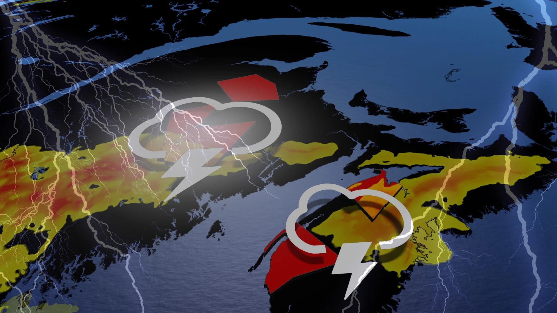
Chantal remnants help to raise soaking rains with Maritimes storm risk
This week will bring the Maritimes multiple opportunities for thunderstorms, with Tuesday featuring another chance for parts of the region
July is the heart of Canada's summer, and that means a month full of severe weather at times. Atlantic Canada is no exception to that rule.
After a stormy Monday evening in parts of New Brunswick, including a tornado watch, the thunderstorm threat will continue on Tuesday. However, most of it will shift to Nova Scotia and will be on a much diminished scale compared to Monday's setup.
SEE ALSO: A normal July brings Canada drought, downpours, and dizzying heat
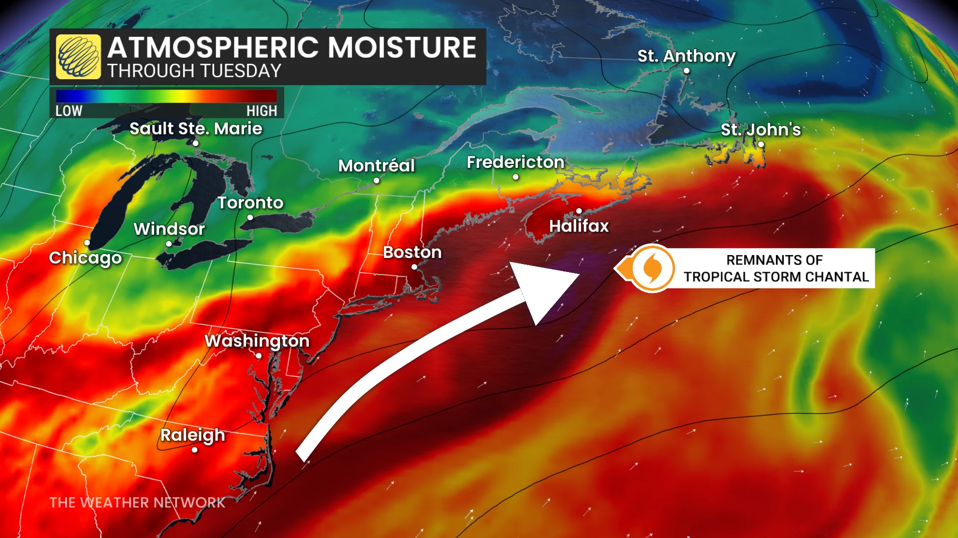
Rainfall will be rather heavy in spots due to the remnant moisture from Chantal pushing into the region.
Be sure to monitor local weather alerts and incoming conditions throughout the day.
Heat, remnants of Chantal propel heavy rain, thunderstorm risk into Tuesday
Through the pre-dawn hours Tuesday, remnant moisture from Chantal will stream across much of the southern Maritimes, promoting very heavy rain and localized heavy downpours.
Atmospheric moisture will remain elevated across Nova Scotia throughout Tuesday, providing some instability and an additional storm threat across the province.
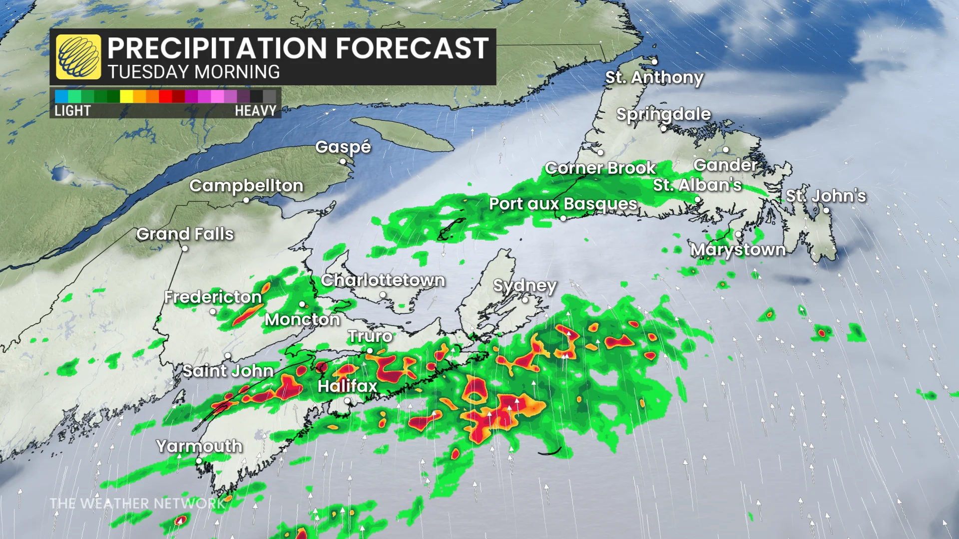
In terms of rainfall, totals will be highly variable with thunderstorms, but some models put in up to 50 mm locally through Tuesday afternoon.
Also on Tuesday, the chance of thunderstorms will pop up again, but mainly for Nova Scotia. Some risk will surface for extreme southern New Brunswick and eastern P.E.I.
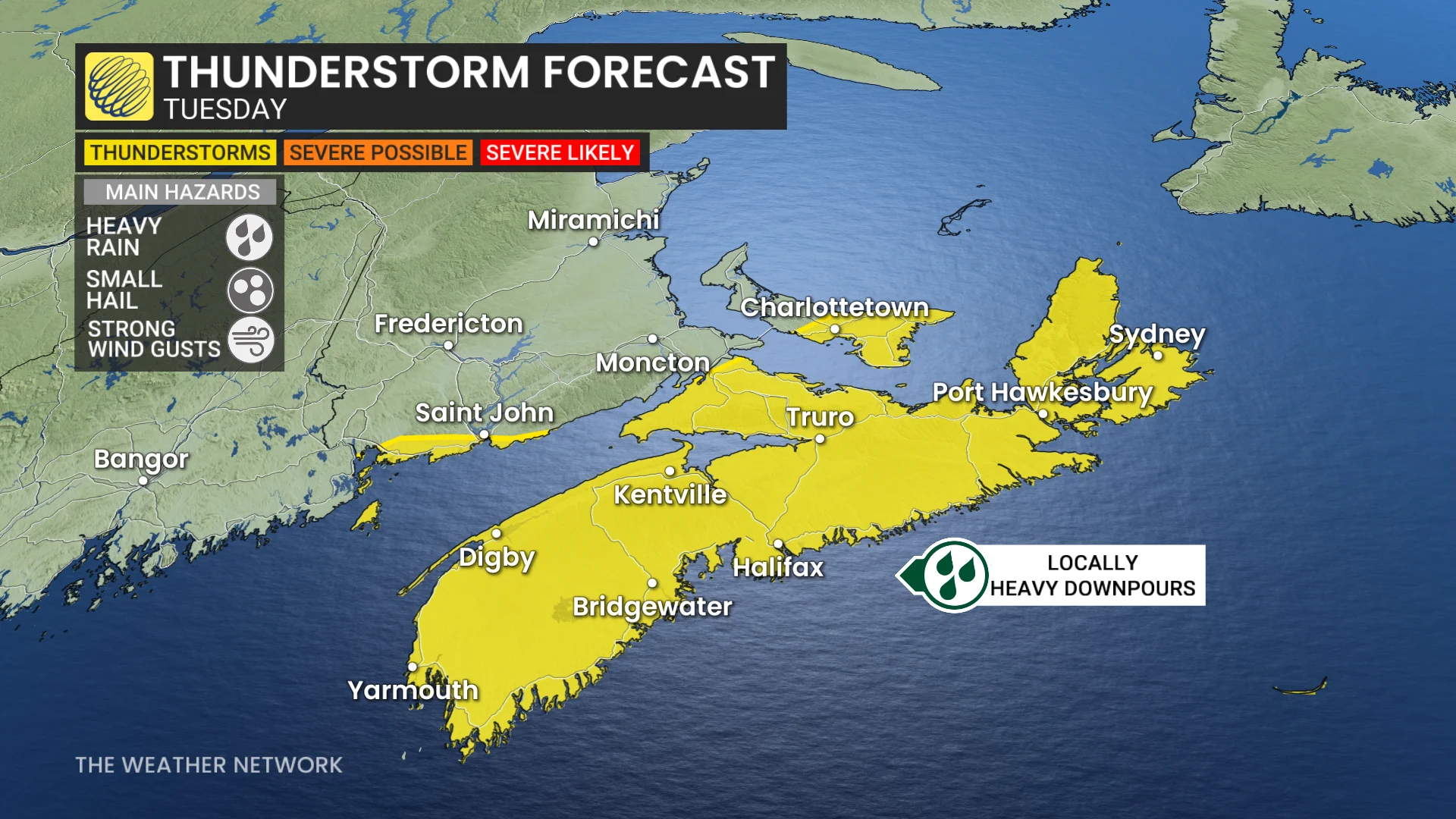
Any storms that form should remain below warning criteria, but could bring heavy rain, small hail and strong winds.
Stay tuned to The Weather Network for the latest forecast updates in Atlantic Canada.