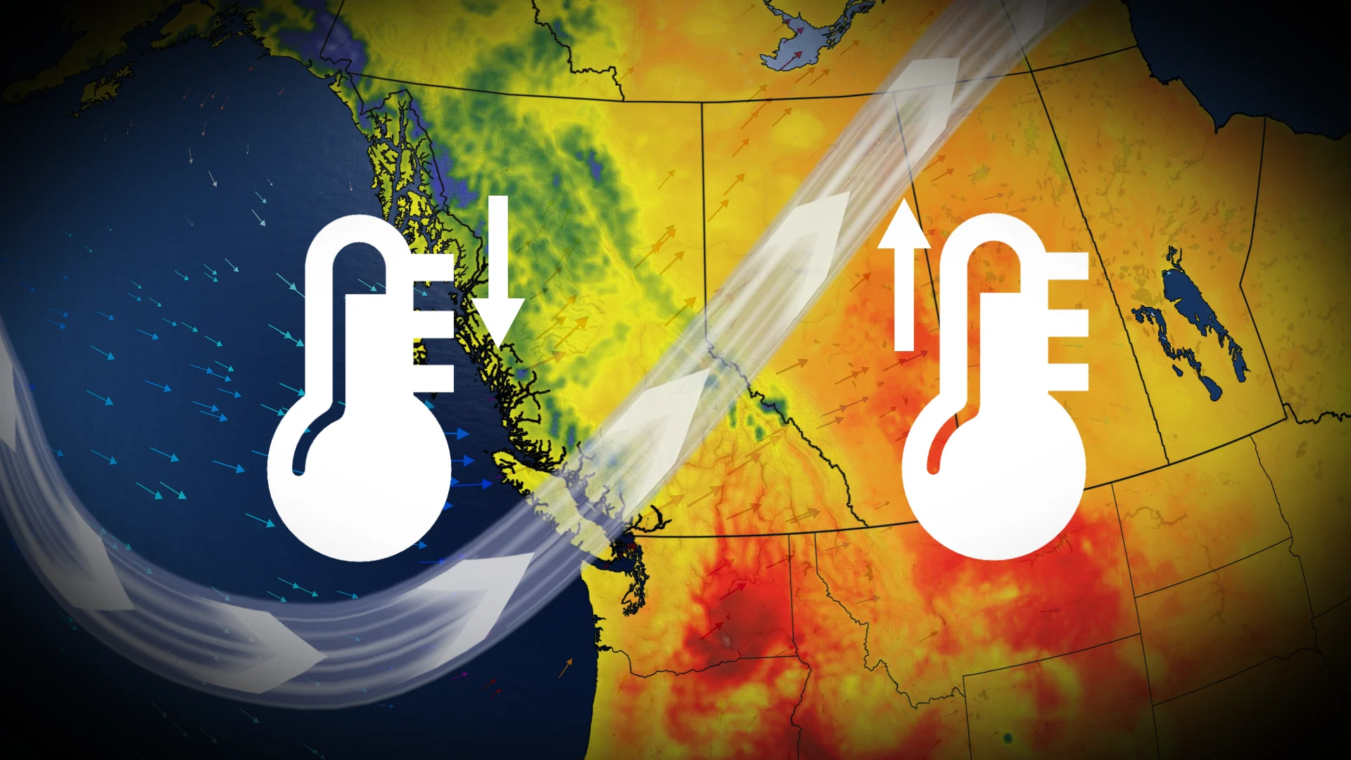
Extreme temperature contrast hits British Columbia and Alberta this week
A mini heat wave is on the way to portions of southern B.C. and across a wide swath of Alberta this week
A spell of unseasonably warm weather is set to affect portions of southern British Columbia and much of Alberta this week.
A ridge of high pressure arriving from the Pacific will amplify temperatures, with locations in B.C.’s South Coast and southern Interior expected to see highs 5-8°C above seasonal norms.
DON'T MISS: A normal July brings Canada drought, downpours, and dizzying heat
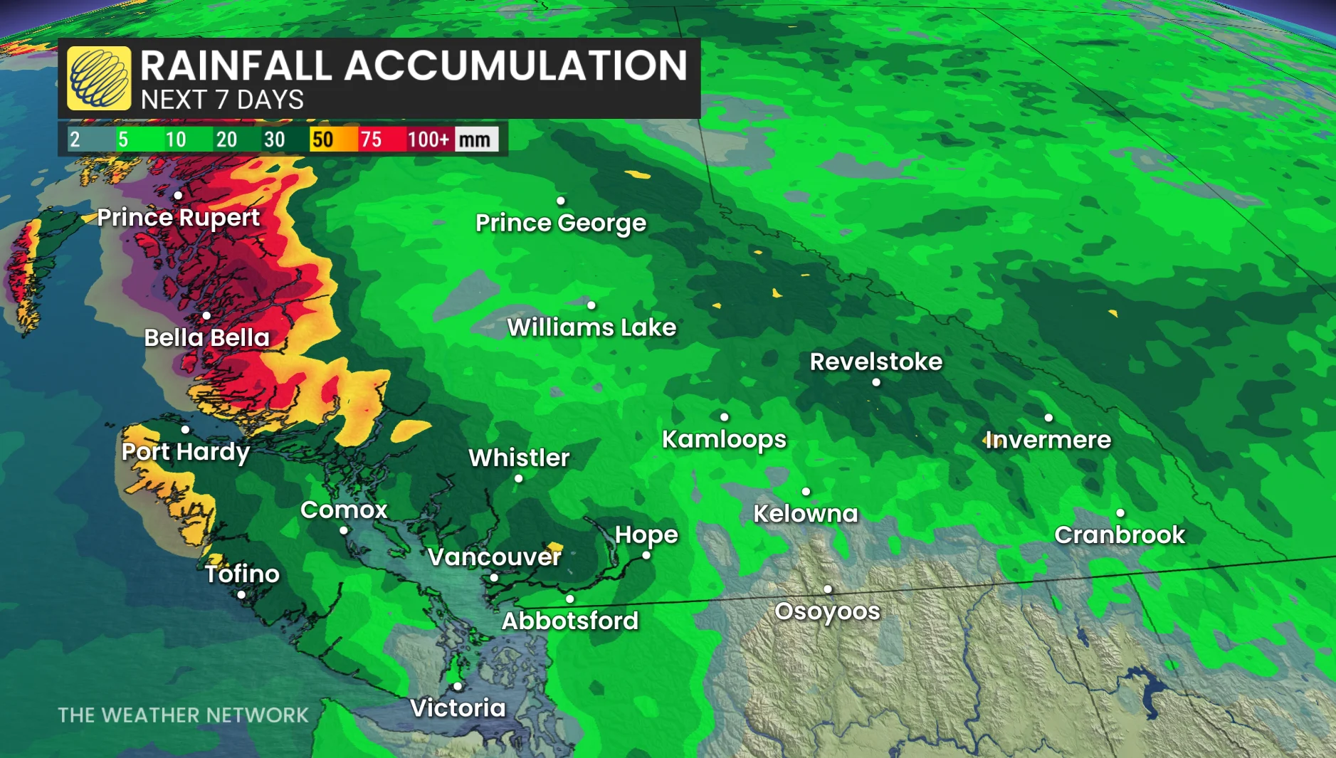
What’s unique about this heat event is the cooler trough situated across northwestern B.C.

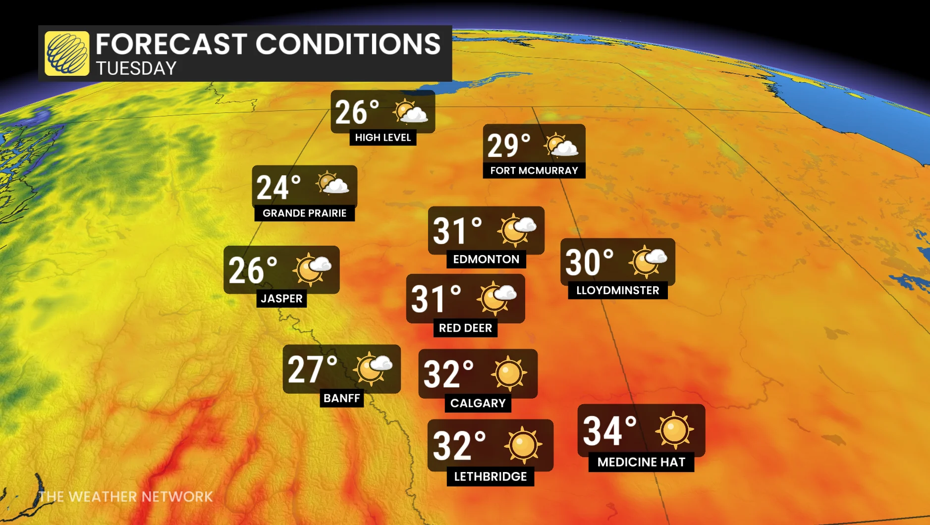
Osoyoos is forecast to hit 37°C on Monday, while Kamloops could see mid-30s. In contrast, communities like Prince Rupert and Bella Bella, will remain much cooler, with highs closer to 13°C.
The South Coast will also feel the warmth, with daytime highs several degrees above typical values. Temperatures near 40 degrees are forecast by Tuesday, with dangerous heat for some.
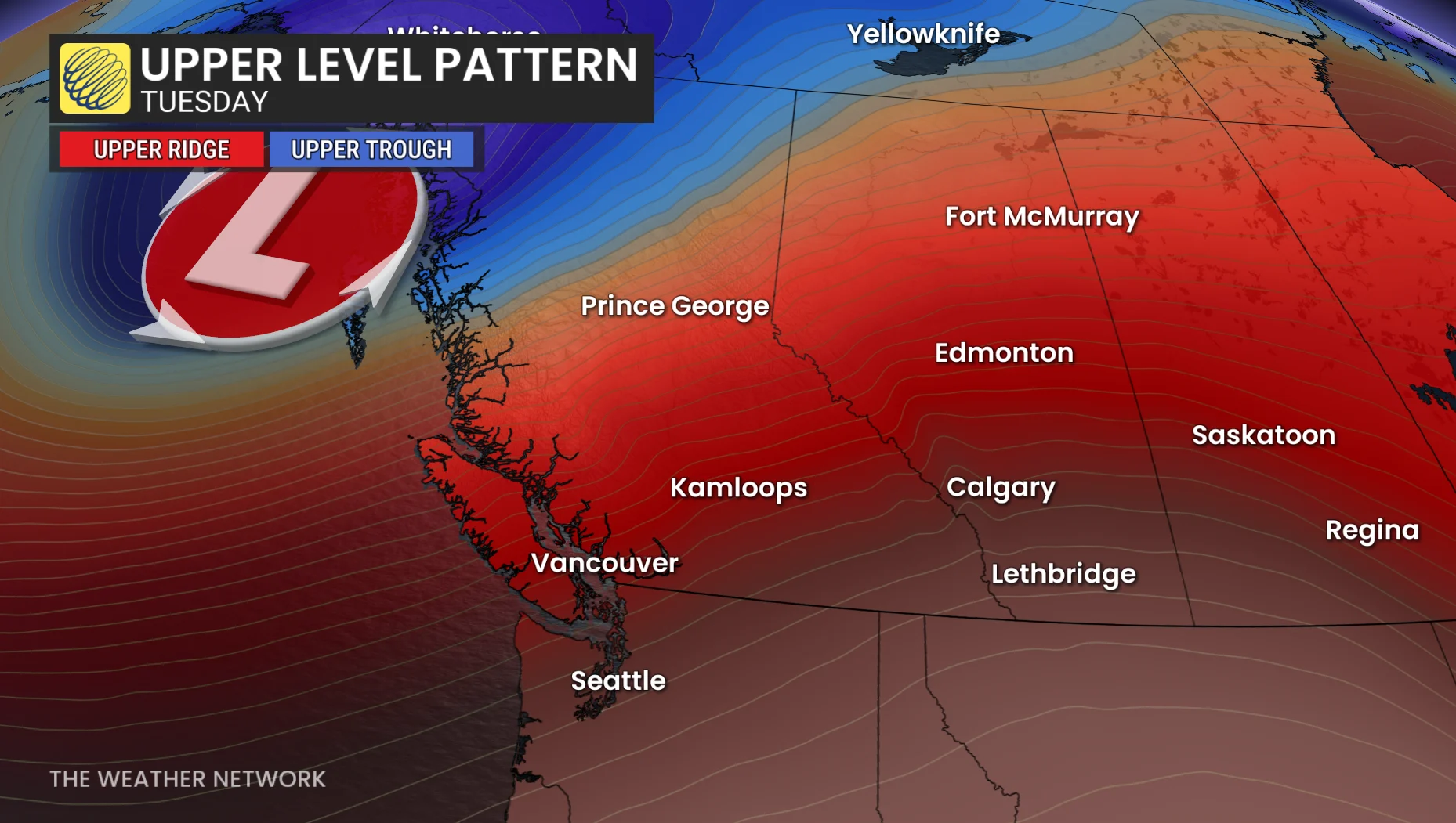
In Alberta, Monday’s temperatures will warm, but Tuesday will bring significant heat, with Calgary expected to hit 32°C.
Notably, this could challenge the city’s warmest temperature of 2025, which was 32.1°C on July 2.
Stay updated for any heat warnings or special weather statements issued in the coming days.
Sharp cold front dramatically lowers temperatures by Wednesday
A cold front will sweep through by Wednesday, bringing rain to B.C.'s South Coast and dropping temperatures sharply across southern B.C. and Alberta.
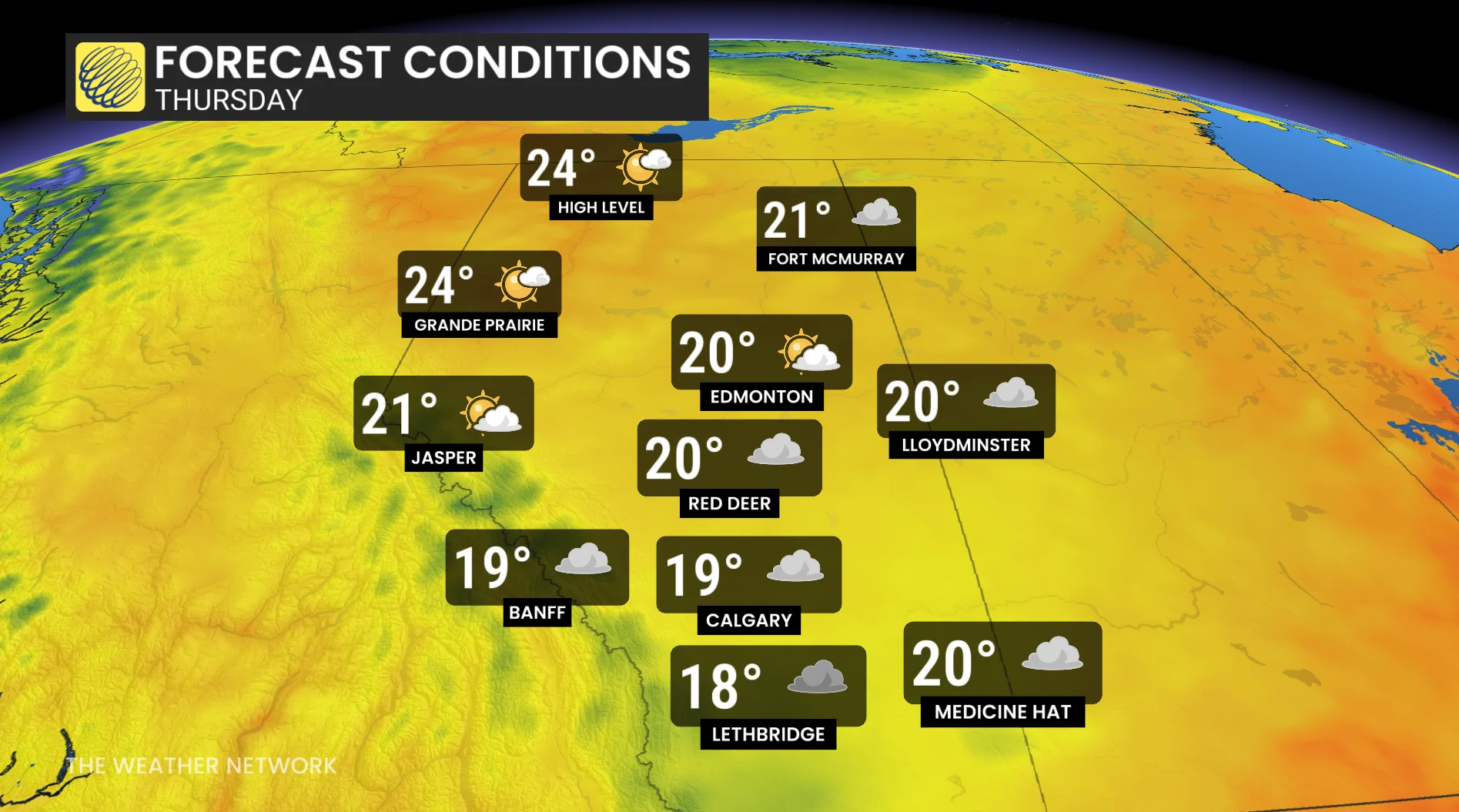
By Thursday, areas in southern Alberta could see daytime highs nearly 10°C below normal, accompanied by unsettled weather across the Prairies.
Be sure to check back for the latest weather updates across B.C. and Alberta.